Geospatial intelligence · Africa
See what’s happening.
Shape the response.
From field surveys and inspections to mapped evidence and live dashboards, Agizo turns what is happening on the ground into intelligence leaders can act on.
01 Collect02 Verify03 Monitor04 Decide
Empowering decisions through innovative geospatial intelligence.

Capabilities
One geospatial partner.
Three connected disciplines.
Capture the real world, organise the data, and make it useful for the people responsible for outcomes.
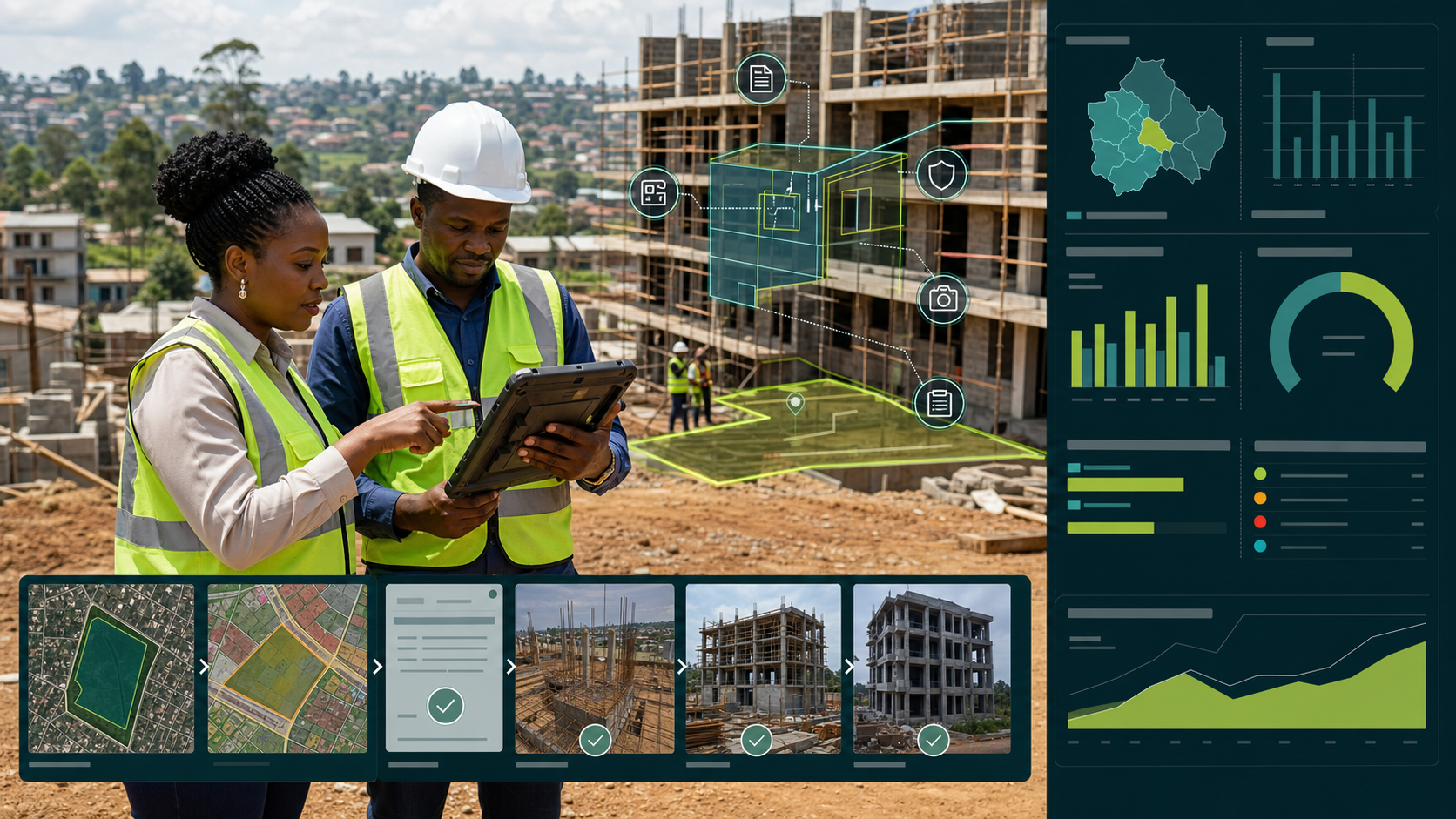
Audit, data collection & monitoring
Equip field teams to capture verified evidence, track assets, strengthen municipal revenue and monitor delivery through live maps, dashboards and accountable workflows.
- Digital audits
- Field capture
- Revenue assurance
GIS & spatial intelligence
Turn complex spatial data into clear maps, dashboards and decision systems for planning, operations and service delivery.
- Spatial analysis
- Data platforms
- Decision support
Drone & earth observation
Capture accurate, current site data and use satellite or aerial imagery to monitor land, infrastructure and environmental change.
- Aerial surveys
- Remote sensing
- Change detection
Strategic partnerships
Global technology.
African delivery.
Our partnerships strengthen the technology, local presence and institutional insight behind every solution.
Turning a world-leading geospatial ecosystem into solutions built for African operations.
Agizo’s strategic relationship with Esri supports advanced mapping, field data collection, operational dashboards and enterprise spatial decision systems.
Connected to Kenya’s flagship technology and smart-city ecosystem.
Our Technopolis partnership strengthens Agizo’s Kenyan market presence and creates a platform for locally relevant innovation, collaboration and delivery across East Africa.

Training partnershipDelivered with an Aviation Training Organisation
Drone training services
Build capable drone teams. Turn every flight into useful data.
Agizo has partnered with an Aviation Training Organisation (ATO) to provide structured drone training services for organisations developing safe, effective in-house aerial-data capability.
Flight readiness
Build operational awareness, disciplined field practice and confident mission preparation.
Mission planning & capture
Plan fit-for-purpose flights and collect consistent imagery for inspection, mapping and monitoring.
From imagery to intelligence
Connect drone outputs to maps, evidence registers and dashboards that support operational decisions.
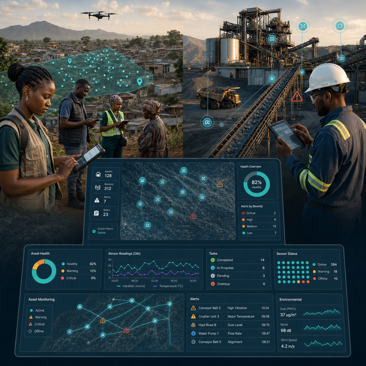
Data collection & asset monitoring
From field evidence to operational control.
Agizo connects the people collecting information with the teams responsible for quality, performance and action. The result is not simply more data—it is controlled evidence, visible progress and a current view of what needs attention.
Configure mobile questionnaires, coordinate enumerators, monitor sample coverage, validate submissions and deliver analysis-ready datasets.
Structure asset registers, capture inspections and defects, track corrective action and focus maintenance where operational risk is highest.
Verify properties, building activity, permits and service records, resolve revenue gaps and give finance and operational teams one current view of what should be billed, collected or enforced.
Selected work
Proof, not promises.
A focused selection of work spanning people, infrastructure, natural resources and national data systems.
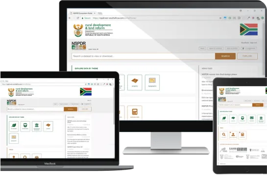
National spatial planning01
National Spatial Planning Data Repository
A centralised national platform developed to help South Africa’s provinces and municipalities share spatial information, strengthen land-use management and support electronic development applications.

Oil, gas & petrochemical infrastructure02
Secunda Digital Civil Asset Inspections
A GIS-enabled monitoring and maintenance solution that allows structural defects to be captured and reported in real time—accelerating inspections, improving safety and reducing maintenance costs.
County revenue assurance03
Kiambu County Building Construction & Revenue Monitoring
A field-to-dashboard solution that identifies active building activity, verifies permits and inspection stages, and gives Kiambu County the evidence needed to strengthen compliance and own-source revenue.
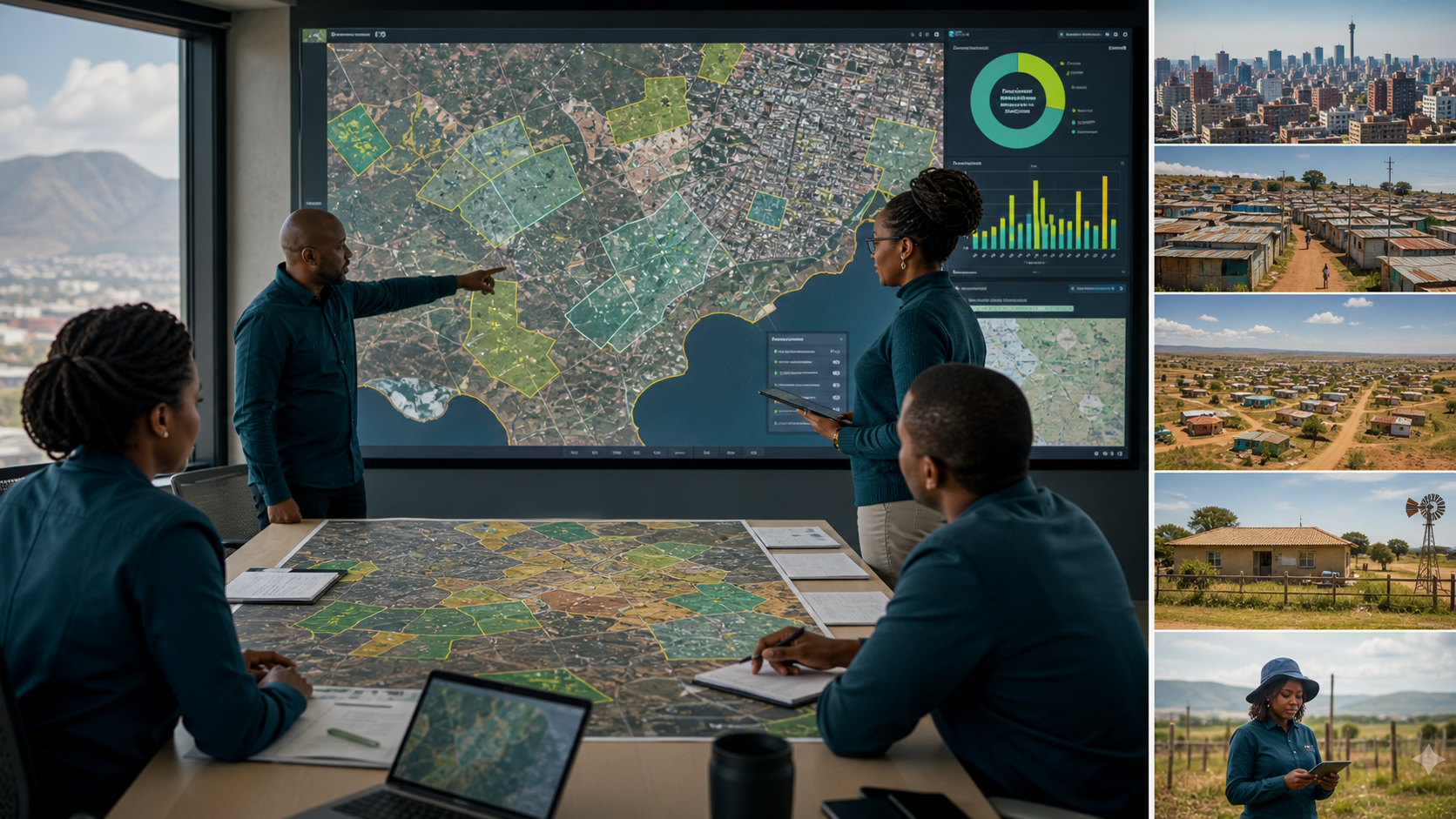
National census planning04
National Census Planning & Settlement Intelligence
High-resolution earth observation, settlement classification and field verification brought together to reveal population patterns, strengthen enumeration planning and close national coverage gaps.
Also delivered
Digital Audit Tool for informal settlements · Nungu Mine intelligence · SPLUMA land intelligence · Senwes facility surveys · Census settlement identification
Selected organisations that trust our work
Agizo Intel Marketplace
Information, ready to work.
Discover, compare and access curated geospatial datasets, sector intelligence and decision-ready information products in one place.
Visit the South Africa marketplace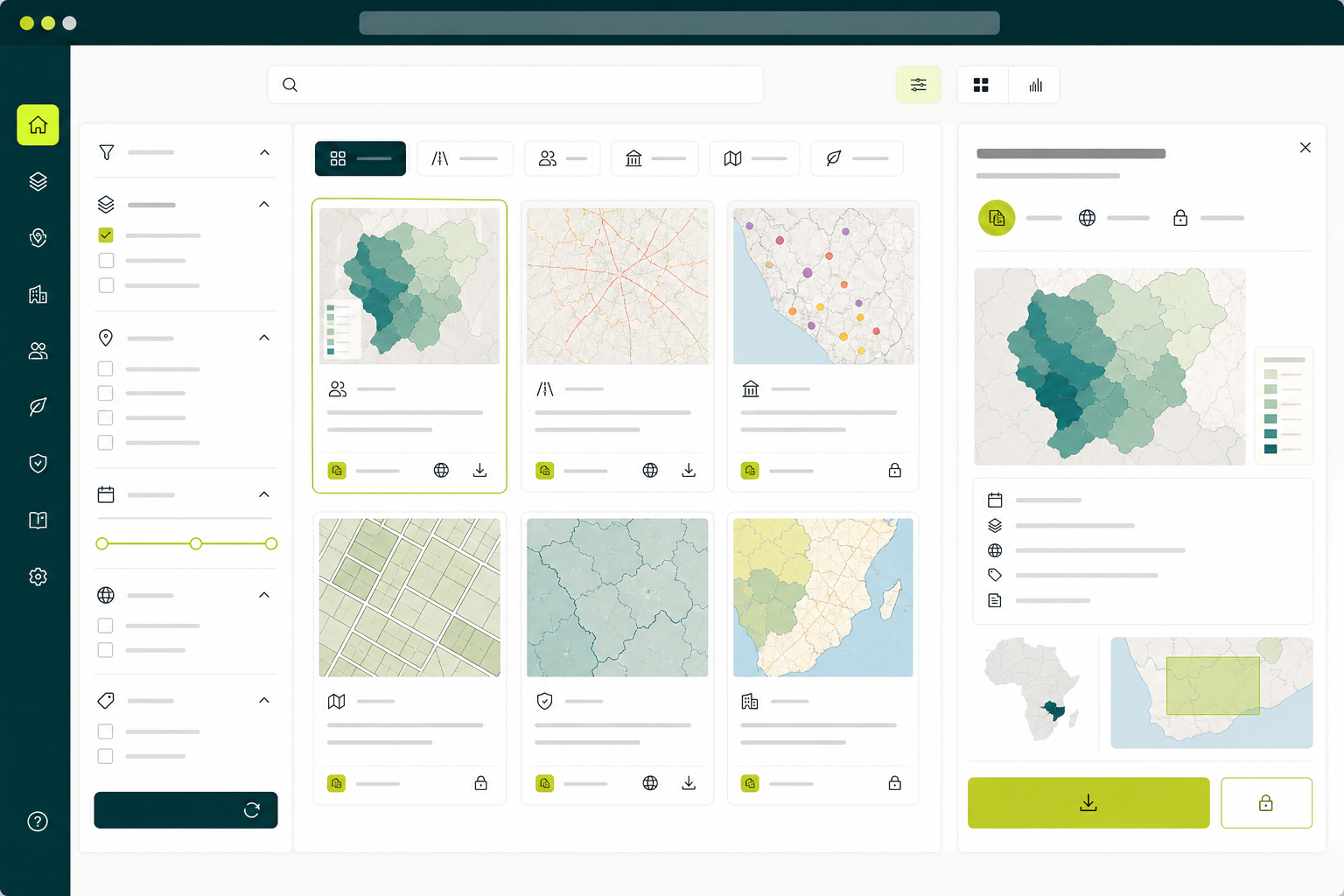
Leadership
Expertise on the ground. Perspective at the table.
Agizo brings together geospatial, delivery, commercial and governance experience around one shared objective: useful outcomes.

Ike Ngwena
Chairman — Agizo Group
Provides strategic oversight, governance and partnership leadership as Agizo scales across its target markets.

Matheri Kangethe
Group Managing Director
Leads group strategy, market expansion and the translation of geospatial science into scalable, high-impact solutions.

Jesse Matheri
Managing Director — South Africa
Leads South African operations and delivery, with expertise in geomatics, systems analysis and integrated GIS frameworks.

Charél Niemand
Senior Technical & Project Lead
Leads complex geomatics programmes across land surveying, mining environments and multidisciplinary field delivery.

Sinovuyo Ngwena
Legal & Governance Advisor
Advises on legal structuring, compliance, governance and risk as Agizo grows across markets and partnerships.
Start with the question
What do you need to know about a place?
Tell us about the decision, site or system in front of you. We’ll help define the clearest geospatial route forward.
info@agizo.co.za